Sentry Page Protection
|
Geo-targeting Project [7-25]
The LOCATIONS table contains three columns. It has the postcodes for the 15 stores, along with the associated easting and northing coordinates (i.e. OS_X and OS_Y columns). 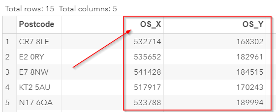
The pair of easting and northing coordinates (e.g. 537275, 169398) represents a geographical location. You can think of it as the (x, y) coordinates on a two-dimensional plane: 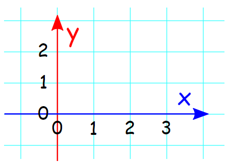
Let's look at an example. The first store's coordinates are (532714, 168302). You can enter the coordinates on this map and locate the store: 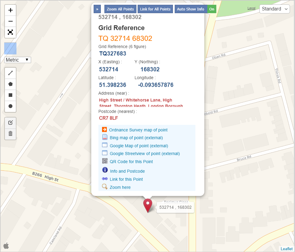
The easting and northing coordinates are commonly measured in meters. They can be used to calculate the distance between two addresses, such as the store's and the customers' addresses. You can read further about the easting and northing coordinates on Wikipedia. |