Search the site...

SASCRUNCH TRAINING
  • Home
  • Member's Area
  • How to Start
  • SAS Interface
  • Creating a Data Set
  • Practical SAS Training Course
  • SAS Certified Specialist Training Program
  • Proc SQL Course
  • Introduction to Time Series Analysis
  • SAS Project Training Course
  • Full Training / Membership
  • Sign up
  • About us
  • Contact us
Sentry Page Protection
Please Wait...
Geo-targeting Project [13-25]


The open_postcode_geo.csv file can be imported using the code below:
filename postcode '/folders/myfolders/Geo-targeting/Data Files/open_postcode_geo.csv';

data all_postcode (keep=postcode os_x os_y);
infile postcode dsd firstobs=2;
input postcode : $8.
      col1 : $10.
      col2 : $5.
      os_x os_y
      col3 
      area : $8.;
if area = "England" and os_x^=.;
run;

This reads in all the postcodes in England (2.1 million records).
Picture

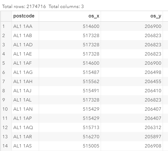
This is a fairly large file!

Note: there is a warning in the SAS log due to some of the unidentified coordinates.

This does not affect our analysis and we will ignore them for now.​
Next
Already a member? Go to member's area.